
I have resisted 'facebook' and 'tumbler' among others and really only tweet now and then [most of my friends are not on twitter to begin with] so the immediacy of that tool only comes into play when I am actually on journeys, friends can follow along in real time online.
That being said, there are still plenty of journeys to be had.
There are many areas of New Mexico I have yet to explore, like eastern and southern New Mexico. Next week my Okie buddy, T-Rob, will be visiting and we are heading up north. I have my fingers crossed that the weather holds out. I am SOOOO not a winter driving person.
On my most recent trip, I headed south to Bosque del Apache National Wildlife Refuge. It is this huge marsh in the middle of the Jornado del Muerto [near the Trinity Site, where the first Atomic Bomb was detonated - see post at right]. It was amazing to see thousands of birds who migrate here for the winter from up north. The best time to be here is early morning and early evening when the thousands of birds become tens of thousands. The take flight in the morning to look for food and then early evening, come back to rest.
Of course I was there mid-day. I also did not wander too far off by myself as mountain lions frequent the area looking for food.
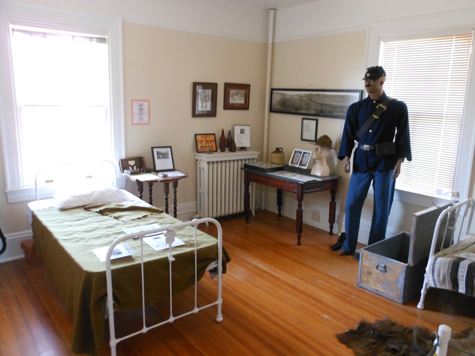
I drove further south to Silver City, NM and the City of Rocks [not to be confused with City of Rocks, Idaho].
City of Rocks, NM is a volcanic rock formation created almost 35 million years ago now eroded to what you see below. If you are headed to the Gila Wilderness to see the cliff dwellings, I do recommend checking this out. It is only about 30 minutes outside of Silver City, NM near Deming on NM61. Its a cool quarter day hike and not very strenuous.
The vistas are AMAZING. You can see for miles and miles.


